


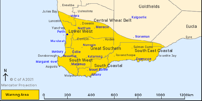
A severe weather warning now includes Mandurah, Perth and the South West.
A strong cold front will move from Jurien Bay down to Bremer Bay on Monday afternoon and into the evening bringing with it showers, thunderstorms and damaging winds of up to 100km/h.
"This is typical weather for this time of the year but winds may cause damage to property and make road conditions hazardous," a BOM spokesperson said.
Another cold front passed across the South West and Great Southern regions early on Monday morning but has now eased.
Cape Leeuwin recorded a wind gust of 94km/h at 10:35pm, while Rottnest Island recorded a wind gust of 94km/h at 1:24am.
If your home or property has significant damage, like a badly damaged roof or flooding, call the SES on 132 500.
 Works underway on 26 new social homes in Kwinana
 Kwinana Adventure Park splash pad to undergo $2 million upgrade
 Mandurah Wildlife Rehabilitation Centre stops accepting seabirds due to bird flu risk
 Mandurah Detectives recognised for dismantling organised crime network
 Two dead in separate crashes in Oldbury and Byford
 Nearly 50 tobacco stores closed, over five million cigarettes seized under new laws
 Yarloop man fined thousands, rods forfeited over illegal fishing haul
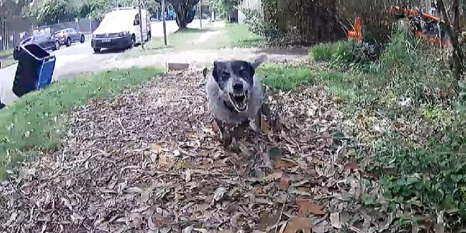 Rockingham named a state hotspot for dog-related incidents against posties
 Police uncover 2kg of meth during crackdown on impaired drivers in Mandurah